News and blogs
-
Crop grower and sheep producer back efficiency to cut costs…
16 February 2026
-
Science in action: Women shaping our landscapes
09 February 2026
-
What South Australia’s landscapes demand from us in 2026
03 February 2026
-
Free webinar highlights support and benefits for farmers cutting emissions
02 February 2026
-
Glossy black-cockatoo numbers hold strong as eastern expansion takes off
19 January 2026
Landscape Regions

Our region
The Alinytjara Wilurara (AW) region covers the north-west third of South Australia. In Pitjantjatjara, 'alinytjara' means 'north' and 'wilurara' means 'west'.
The AW region covers more than 250,000 square kilometres, stretching from the Northern Territory and West Australian borders south to the Great Australian Bight. The regional boundary extends to the edge of the State Waters (three nautical miles off-shore) in the Great Australian Bight and includes the South Australian part of the Great Australian Bight Marine Park. The land and its 340 kilometres of coastline are mostly dedicated to conservation and traditional Aboriginal use and occupation. The homelands and community townships are inhabited by approximately 4000 people. The region is managed as nine distinct landscapes.
There is no privately owned land in the region. More than half of AW is held as dedicated Aboriginal lands and is owned or in the trust of three key land holding authorities:
- Yalata
- Anangu Pitjantjatjara Yankunytjatjara (APY) Lands
- Maralinga Tjarutja (MT) Lands
The AW region is diverse in its fauna, flora and cultural heritage. With some of the hottest and most remote areas in South Australia and no permanent rivers or creeks, water is a limiting factor to economic development throughout the region.
Upcoming meetings
The schedule of future board meetings is available here. If you would like to attend or make a presentation at any of the upcoming meetings, please contact aw.landscapeboard@sa.gov.au.
Grassroot Grants
For further information on Grassroot Grants please head to the Alinytjara Wilurara Landscape Board website.
Board Members
- Peter Burgoyne
- Duane Edwards
- Debbie Hansen
- Jeremy Lebois
- Wanda Miller
- Tapaya Edwards
For more information visit the website.

Our region
The Eyre Peninsula Landscape Board region covers a significant area of South Australia, about 80,000 square kilometres or 8 million hectares, and includes part of the upper Spencer Gulf, the City of Whyalla, across the southern boundaries of the Gawler Ranges, past Ceduna to the edge of the Nullarbor Plain and south to the fishing hub of Port Lincoln. The region supports a population of close to 60,000 people.
As part of the Eyre Peninsula Landscape Board's planning process, the region was divided into five subregions based on areas of similar landscape and land uses. A set of subregional descriptions provide an understanding of the natural resources, systems and drivers across the Eyre Peninsula. See the Board's landscape plan page for more details.
The region’s economy is diverse, and includes primary industries, health and community services, manufacturing, retail trade, construction, education and training, and mining. Tourism and mining are growing industries in the region. Primary industries include cereal crops, sheep, cattle and viticulture. The region has several commercial fishing fleets, with the largest based at Port Lincoln.
The majority of South Australia’s aquaculture farming is also located in the region, with species farmed including southern bluefin tuna, yellowtail kingfish, mulloway, blue mussels, greenlip abalone, and pacific and native oysters. Oyster farming was established in the 1980s and occurs in several areas including Coffin Bay, Cowell, Streaky Bay, Smoky Bay, Denial Bay and St Peter’s Island.
The Eyre Peninsula Regional Landscape Plan sets the vision and priorities for the region to achieve sustainable landscape management from 2021-26. It focuses on the priority areas of water, sustainable agriculture, pest plants and animals, biodiversity and community.
Grassroots Grants
The Grassroots Grants program supports individuals, volunteers, community groups and other organisations working on a not-for-profit basis, with local landscape management projects. Further information on Grassroots Grants in the Eyre Peninsula region can be found on the Eyre Peninsula Landscape Board website. Applications usually open annually in March.
Board Members
Our Board meets throughout the year to review the work being undertaken by the Eyre Peninsula Landscape Board. Find out more about the Eyre Peninsula Board members.
- Peter Treloar (Chair)
- Nikki Becker
- Sonya Coleman
- Cecelia Cox
- Mark Dennis
- Kate McShane
- Steven Milner
- Sandra Walsh
Upcoming meetings
See our schedule of upcoming Board meetings. If you would like to attend or make a presentation at any of the upcoming meetings, please contact the EP Landscape Board via email on ep.landscapeboard@sa.gov.au.
For more information visit the website.
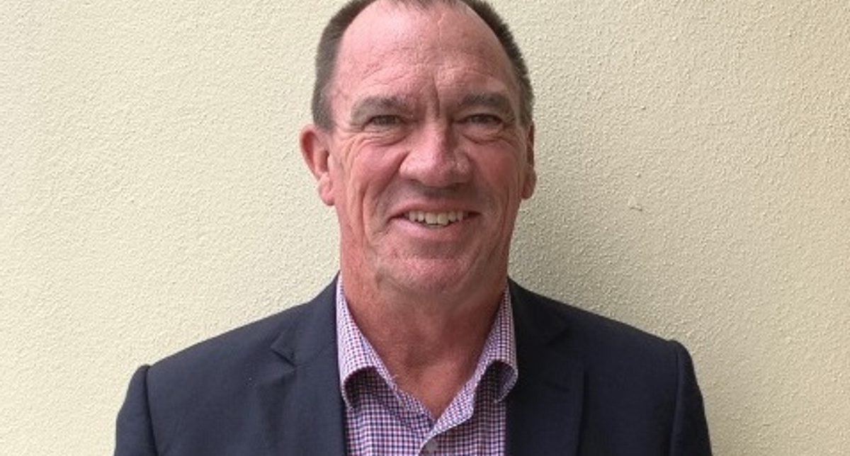
During his time as an elected member he was involved with various committees including Natural Resources, Economic and Finance, and Regional affairs. Peter was also Deputy Speaker and Chair of Committees during his time on the Government benches. He has vast experience representing the Eyre Peninsula community particularly in the areas of natural resources and agriculture.
Peter was one of the founding members of the inaugural Eyre Peninsula Natural Resources Management Board (2005-2008).

Our region
A new entity called Green Adelaide has been created under the Landscapes South Australia Act 2019, specifically in recognition of the unique environmental challenges faced in urban areas.
Green Adelaide will drive innovation and action in metropolitan Adelaide to deliver a climate resilient and ecologically vibrant city from the hills to the sea. Green Adelaide will bring an integrated approach to managing Adelaide’s urban environment through increased efforts to green and cool our backyards, streets and neighbourhoods, enhance biodiversity, and create open and healthy green spaces for everyone.
Green Adelaide will support Adelaide to become the world’s second National Park City through connecting community to nature and managing our urban environment..
Green Adelaide aspires for Adelaide to become globally recognised for its liveability and thriving environment by building on its reputation as a cool, clean, green and vibrant city and attracting industry, investment, residents and visitors.
The new Green Adelaide region spans 17 metropolitan councils and approximately 1.3 million South Australians.
At the heart of Green Adelaide will be its partnership approach across all levels of government and with the Kaurna Nation, industry, NGOs and community groups.
It will partner with state and local government, industry and NGOs to proactively encourage policies to embed greening and water sensitive design into private and public planning and development at every scale.
Partnerships between local government and Green Adelaide will be crucial to the aims of achieving a green, climate-resilient city. Green Adelaide will form strategic partnerships with local government to plan and implement actions together.
Board Members
- Chris Daniels (Chair)
- Claire Boan
- Greg Ingleton
- Felicity-ann Lewis
- Louka Parry
- Adrian Skull
- Trixie Smith
- Kelvin Trumper
- Tobias Turner
- Dena Vassallo
For more information visit the website.
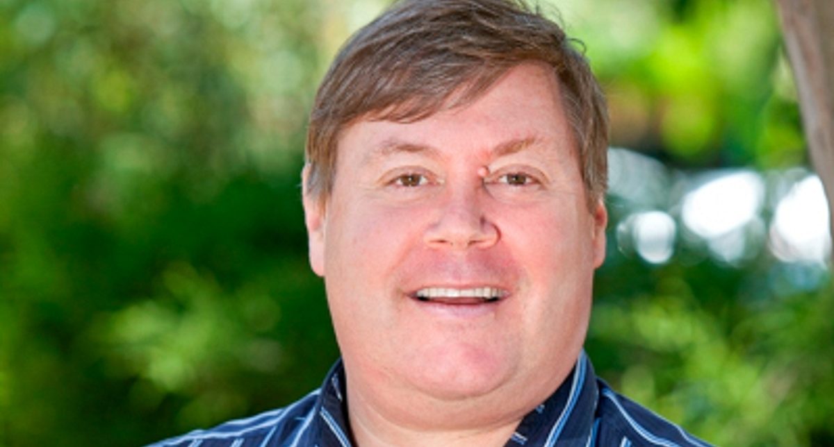
He was the Presiding Member of the Adelaide and Mount Lofty Ranges NRM Board from 2011 to 2018, and Chair of the Board of Nature Play SA from 2016 to 2018. Chris is also Adjunct Professor of Biology at UniSA and Adjunct Professor of Zoology at Adelaide University.
He has published nine books, one DVD and over 250 scientific and community publications. His award winning books include Adelaide: Nature of a City (2005), Adelaide: Water of a City (2010) and Guide to Urban Wildlife (2011).
Chris won the South Australian Premiers Science award for communication (2007) and the Medal for Natural History from the Field Naturalists Society SA (2010).
Our region
The Hills and Fleurieu landscape is the most biologically diverse region in South Australia. Home to half of the state’s species of native plants and three-quarters of its native birds, it also has some of the most productive primary industries supplying local and international markets.
Covering 6700 square kilometres of land and sea, the region is home to around 130,000 people and stretches along the Mt Lofty Ranges from Cape Jervis to Birdwood and the South Para River, and from the coastal waters of Gulf St Vincent and Willunga across to Mount Barker, Goolwa and Victor Harbor.
The region’s primary industries contribute more than $400 million in value to the South Australian economy each year, with other industries including tourism and retail. Grazing accounts for more than 45% of land use. Apple, pear and cherry production, together with viticulture, wine making and seafood production are also significant rural industries.
Larger towns in the area include Mount Barker, with more than 30,000 people, Victor Harbor at about 15,000 people and Strathalbyn at about 6000. Large areas of the region are also home to people who have chosen a rural lifestyle on small holdings.
The region is dominated by the southern Mt Lofty Ranges and features significant water resources. Other natural assets include grassy woodland habitats, rare vegetation such as the Mt Compass Oak-bush and the threatened Southern Mt Lofty Ranges emu wren. Along the southern coastline, little penguins are a focus of both public attention and conservation effort. Similarly, efforts to protect habitat for endangered shorebirds such as the Hooded Plover are also an important conservation focus.
Upcoming meetings
For meeting agendas, minutes and upcoming meeting dates, please click here. If you would like to attend or make a presentation at any of the upcoming meetings, please contact hf.landscapeboard@sa.gov.au.
Grassroot Grants
For further information on Grassroot Grants please head to the Hills and Fleurieu Landscape Board website
Board Members
- David Greenhough (Chair)
- Janet Klein
- Professor Andy Lowe
- Dr Chris West
- Jock Harvey
- Leanne Muffet
- Sarah Day
- Amelia Graham
- James Stacey
For more information visit the website.
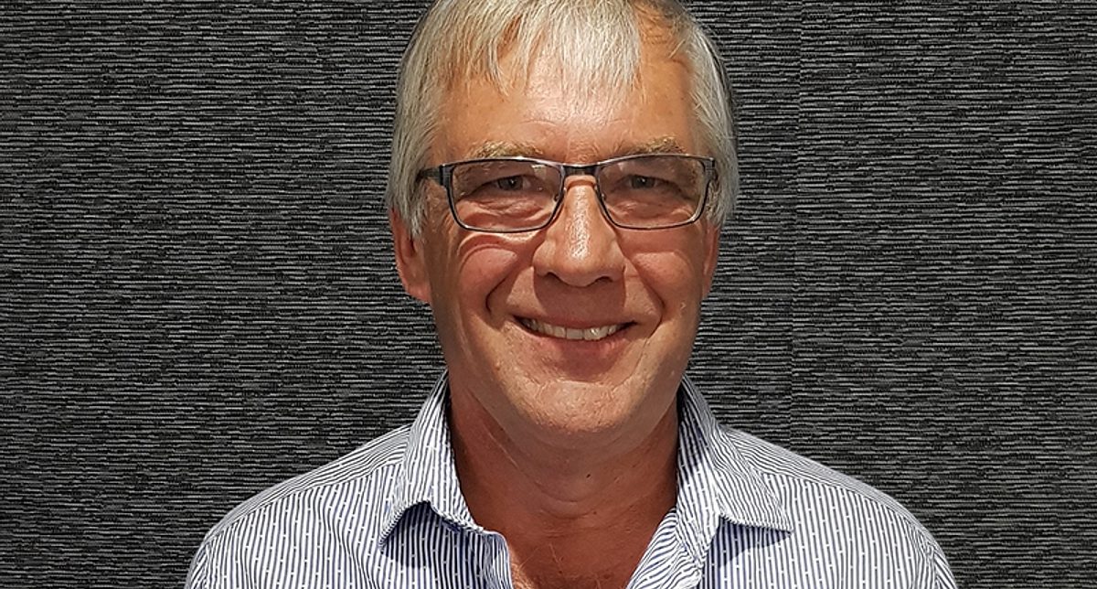
He is the former owner and Managing Director of LEAP Legal Software in South Australia and Western Australia and a partner of Tripos IT, a management and IT consulting group.
He is the current Chair of the Glenthorne Partnership, working with the Department for Environment and Water, partnership members and the community to provide advice and guidance in the creation of the Glenthorne National Park and precinct. He has also been a founding member of Friends of the Lower Field River and has been active in environmental volunteering for many years.

Our region
Kangaroo Island (KI) lies approximately 15 kilometres off of the Fleurieu Peninsula. The island covers an area of 4370 square kilometres and is home to approximately 4700 people who reside primarily in the four townships, the largest being Kingscote. The island welcomes more than 160,000 visitors each year, one third of whom are international guests.
Natural resources underpin a range of industries, with primary production, commercial fishing, and nature-based and farm-based tourism making up around 90% of the gross regional product.
KI contains the highest proportion of remnant vegetation of all South Australian agricultural regions. Around 40% of the island is covered by native vegetation, maintaining significant areas of relatively intact ecosystems.
In 2009, KI was listed as one of Australia’s National Landscapes (a tourism and conservation partnership program between Tourism Australia and Parks Australia) in recognition of its spectacular coastlines, unique geological formations, history and accessibility to viewing unique Australian wildlife in their natural setting.
The region is noted for its abundant wildlife, thanks to relatively few predators and extensive native habitats.
Upcoming meetings
Details of future meetings will be added to this site once the schedule is confirmed. If you would like to attend or make a presentation at any of the upcoming meetings, please contact ki.landscapeboard@sa.gov.au.
Grassroot Grants
For further information on Grassroot Grants please head to the Kangaroo Island Landscape Board website.
Board Members
- Andrew Heinrich (Chair)
- Dr Peggy Rismiller OAM
- Barbara Cooper
- Peter Davis
- Grant Flanagan
- Jeanette Gellard
- Drew Laslett
- Daniel Pledge
For more information visit the website.
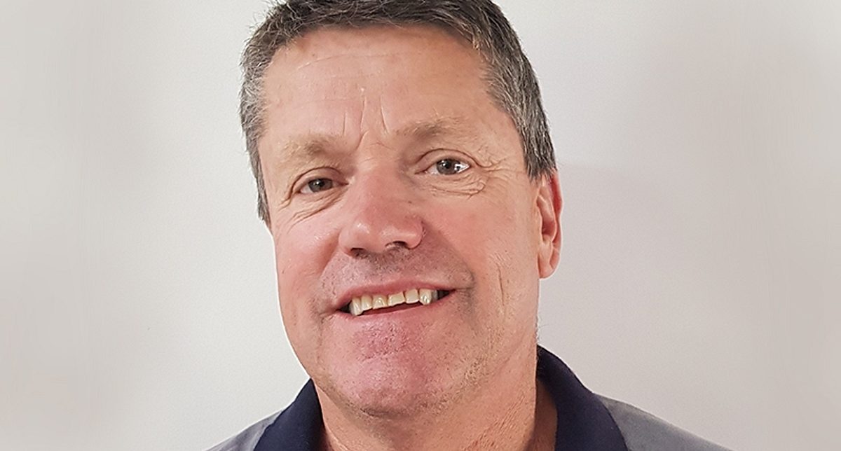
Sustainability is a key part of farming at their Ella Matta property, with the family working with organisations such as Landcare to fence off native vegetation, re-plant native trees and establish shelter-belts as well as improving pasture and soil, minimising erosion and assisting with local Koala management programs.
Andrew was a founding member and past Chair of the Upper Cygnet Landcare Group, he has also been Chair of the AgKI Board, is a past Chair of the KI ovine johnes disease (OJD) committee, and is a past member of the SA OJD committee. He is currently the President of the KI Football League and the Vice Chair of the Australian White Suffolk Association. He is also the immediate past Presiding Member of the Kangaroo Island Natural Resources Board.

Our region
The Limestone Coast region covers an area of approximately 28,000 square kilometres and bound by the Victorian border to the east, the Southern Ocean to the south and the Coorong to the west.
The region is distinguished by deep limestone substrate and a series of stranded dunes that rise between 20-50 metres above interdunal plains. These plains can be inundated over winter and host a variety of internationally-recognised wetland systems, including the Ramsar-listed Bool and Hacks Lagoons and part of the Coorong and Lower Lakes Wetlands. The region also hosts and extensive network of limestone sink holes and caves, which include the World Heritage Listed Naracoorte Caves.
The climate in the Limestone Coast is characterised by cool wet winters and mild to hot, dry summers. Average annual rainfall varies considerably within the region, from approximately 850mm in the south to 450mm in the north.
With a favourable climate, suitable soils and underground water, the Limestone Coast has a strong history as a highly productive area that supports a diverse and profitable industry base. The Limestone Coast region contributes about $3.93 billion per annum towards the South Australian GSP with 16.9% of GSP contribution from agriculture, forestry and fishing.
The key economic activities in the region supported by natural resources include plantation forestry, wine/viticulture, agriculture, dairy, potatoes, fishing/aquaculture and their associated industries.
Upcoming meetings
The schedule of future board meetings is available here. If you would like to attend or make a presentation at any of the upcoming meetings, please contact lc.landscapeboard@sa.gov.au.
Grassroot Grants
For further information on Grassroot Grants please head to the Limestone Coast Landscape Board website.
Board Members
- Penny Schulz (Chair)
- Mark Bachmann
- Robbie Davis
- Ben Hood
- Peter Bissell
- Fiona Rasheed
- Tracey Strugnell
For more information visit the website.
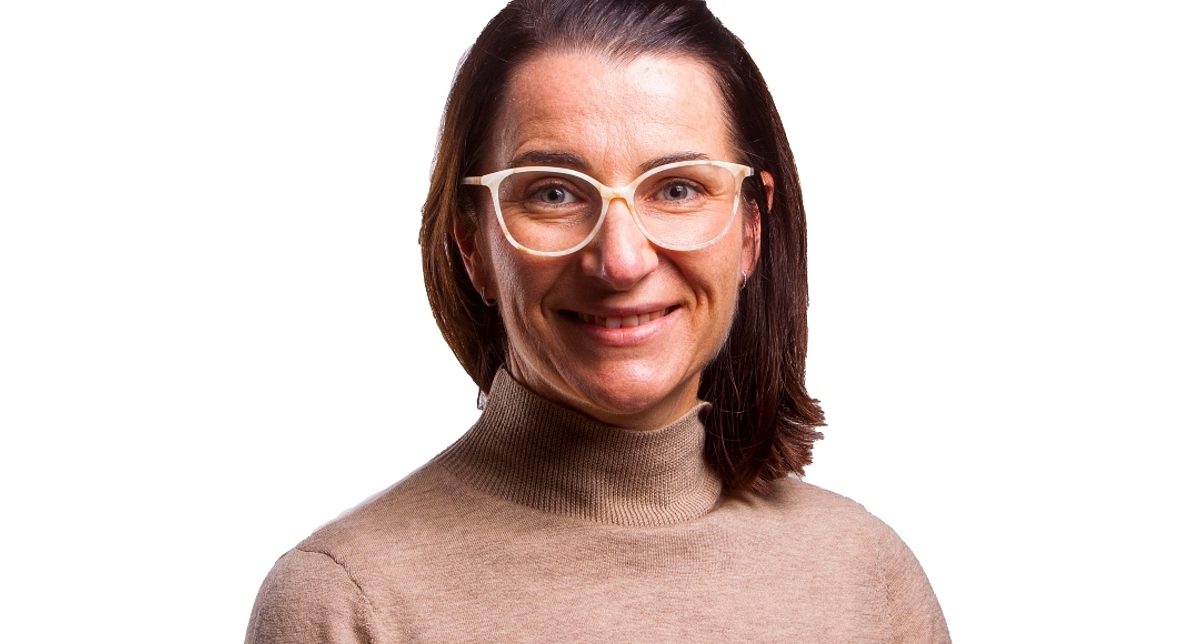
Penny is currently undertaking a PhD in Rural Science and holds a Master of Science in Agriculture, a Bachelor of Agriculture and is a Graduate of the Australian Institute of Company Directors. She also holds a range of executive officer positions with Livestock SA, the Australian Beef Industry Foundation, and SA Cattle Advisory Group.
Penny has a particular interest in community engagement, and using technology for productive and sustainable land management.
She is interested in developing strong community connections with all elements of natural resource management. Managing this landscape is complex and challenging, and she hopes the Board is recognised for the full breadth of landscape management challenges and opportunities.
Penny loves our unique and varied landscape and climate, and holds a special place for the beautiful and fragile landscape that is the Coorong, "...I don't need to explain how special the Coorong is to us - it's a place that just draws you in!"

Our region
The Murraylands and Riverland region extends from where the River Murray crosses the border into South Australia, through the northern Mallee to the foot of the Eastern Mount Lofty Ranges; from the Rangelands in the north to the southern Mallee and Murray Mouth in the south. The region covers approximately 53,780 square kilometres. The following local councils areas are included within the Murraylands and Riverland region:
- Southern Mallee District Council
- Renmark Paringa Council
- Coorong District Council
- District Council of Loxton Waikerie
- The Rural City of Murray Bridge
- Berri Barmera Council
- District Council of Karoonda East Murray
Mid Murray Council\
There are also areas of unincorporated land around the Riverland and within the pastoral area.
The region forms the south-western portion of the Murray-Darling catchment into which the River Murray flows. The River Murray supports highly productive horticultural industries as well as supplying the majority of the water needs for the city of Adelaide and many other towns in the state. The natural resources of the Murraylands and Riverland region also support tourism, recreation and manufacturing. The region is one of the most productive agricultural areas in South Australia.
Much of the land in the region is used for primary production, including pastoral lands, dryland cropping, grazing, horticulture, irrigation and dairy farming. Within the region, there are ecosystems that are of state, national and international significance, including the Ramsar-listed Chowilla Floodplain, the Coorong and Lower Lakes.
The region has a rich and diverse history of volunteering in landscape and environmental management, with a wide range of active groups undertaking action to look after their local landscapes. Groups include Landcare and Local Action Planning Groups, land management groups, wetland groups, sustainable production groups and catchment groups.
The region includes the lands and waters of a number of Traditional Owner groups including Ngarrindjeri, the First Peoples of the River Murray and Mallee Region, Peramangk, Ngadjuri, and Wilyakali.
Upcoming meetings
Details of future meetings will be added to this site once the schedule is confirmed. If you would like to attend or make a presentation at any of the upcoming meetings, please contact mr.landscapeboard@sa.gov.au.
Grassroot Grants
For further information on Grassroot Grants please head to the Murraylands and Riverland Landscape Board website.
Board Members
- Frances Simes (Chair)
- Andrew Biele
- Samantha Blight
- Greg Cock
- Karen Eckermann
- Brian Lund
- Kylie Moritz
- Tammy O'Malley
- Jason Size
For more information visit the website.

Outside work, Frances has significant experience on local boards and committees having served as a local councillor with the District Council of Loxton Waikerie for 3 terms in the early 2000’s for the last 10 years, as well as tenures on the board of the South Australian Murray Darling Basin Natural Resource Management Board, the State Natural Resources Management Volunteer Committee, Riverland West Landcare and the Waikerie Ramco Recreation Grounds committee.
With a strong desire to use her experience with government, rural communities, farmers, volunteers and the environmental sector, Frances is keen to have a positive impact to ensure the landscapes and communities of the Murraylands and Riverland are viable into the future.

Our region
The Northern and Yorke region extends for 38,500 square kilometres. It is a varied and productive portion of South Australia and includes approximately 1300km of coastline and adjacent marine areas.
The region encompasses the Yorke Peninsula, significant areas of Spencer Gulf and Gulf St Vincent, the southern Flinders Ranges, parts of the Rangelands, the Mid North, the northern Mount Lofty Ranges, the Barossa and northern Adelaide Plains.
The region supports a population of approximately 150,000 people who reside in agricultural, coastal and urban communities. It welcomes a large number of visitors each year to destinations that include Innes National Park, the Barossa Valley, the Clare Valley and the Southern Flinders Ranges.
The region includes traditional Aboriginal lands of the Narrunga, Nukunu, Ngadjuri, Kaurna and Peramangk people.
The major urban centres are Port Pirie, Gawler, Nuriootpa, Clare, Burra, Peterborough, Kadina, Moonta and Wallaroo.
Natural resources underpin a range of industries. Approximately 80% of the region is under agricultural cropping and grazing production contributing a quarter of South Australia's agricultural earnings. The region embraces the major Barossa Valley and Clare Valley wine growing regions, and supports significant mining and mineral processing activities, fishing, aquaculture, forestry, horticulture and tourism.
Upcoming meetings
The schedule of future board meetings is available here. If you would like to attend or make a presentation, please contact the Northern and Yorke Landscape Board via ny.landscapeboard@sa.gov.au.
Grassroot Grants
For further information on Grassroot Grants please head to the Northern and Yorke Landscape Board website.
Board Members
- Geoff White (Chair)
- Peter Angus
- Holly Cowan
- Nicki Robins
- Erika Lawley
- Sue Scarman
- Leo Redden
For more information visit the website.
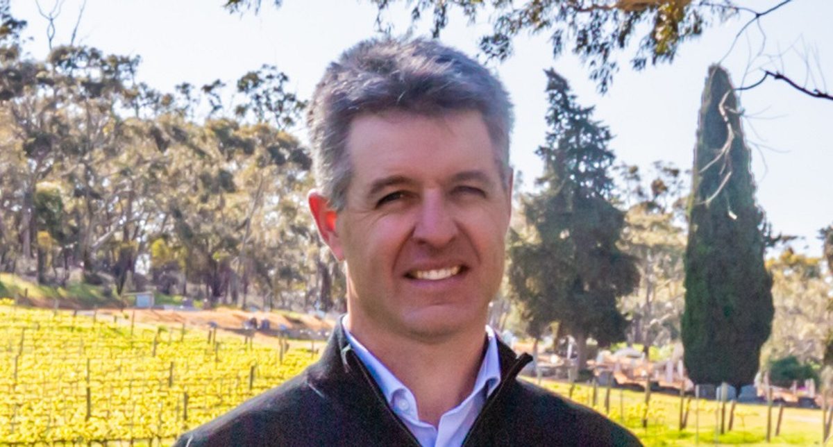
He was an inaugural member of the South Australian Murray-Darling Basin Rangelands Natural Resources Management Group (NRM) and has been a board member of the Northern Yorke Landscape Board since 2020.

Our region
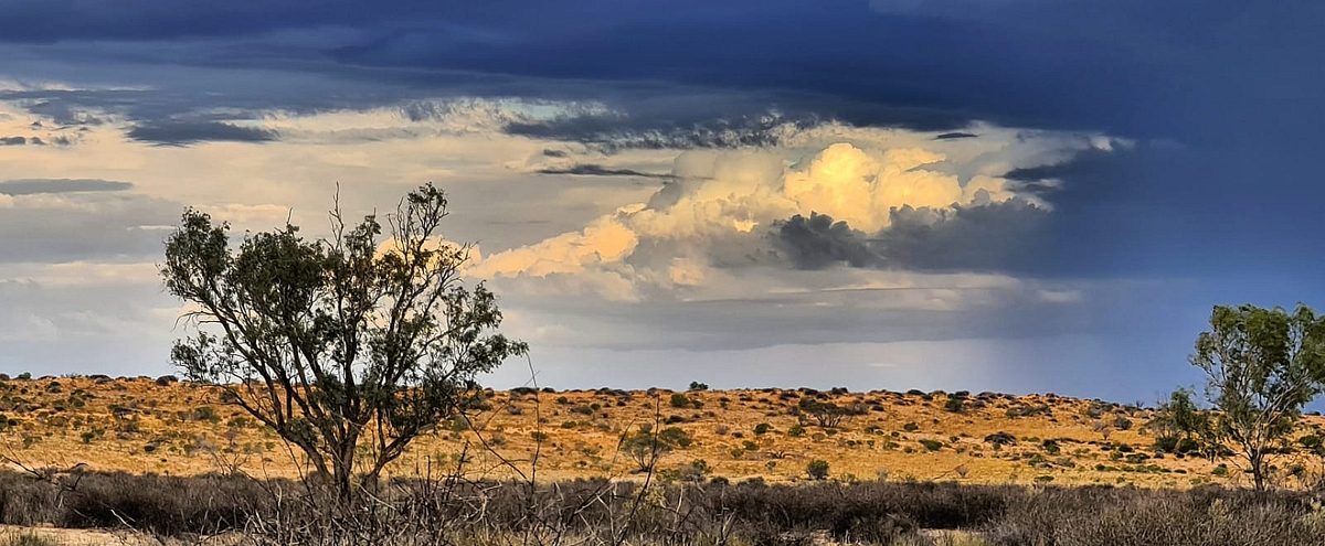
The SA Arid Lands region covers more than half of South Australia, taking up the state’s north-east corner to its borders with New South Wales, Queensland and the Northern Territory. The region includes some of the most arid parts of SA and has the largest percentage of intact ecosystems and natural biodiversity in the state. These iconic terrestrial ecosystems – including sandy deserts, stony plains, and the Gawler, Flinders, Gammon and Olary Ranges – are home to unique plants and animals, many of which are only found within the region.
Less than 2% of the state’s population live in this semi-arid region, with the small population widely dispersed. Port Augusta is the region’s largest city, home to more than 13,000 people, and is located at the top of Spencer Gulf. Other major towns in the region include Coober Pedy and Roxby Downs. Both are associated with mining and home to less than 5000 people, while the remaining smaller towns combined have less than 1000 occupants.
The region is one of the most visited in the State and welcomes a large number of people each year to destinations that include the Flinders Ranges, Lake Eyre, Coober Pedy and the Strzelecki, Oodnadatta and Birdsville Tracks.
Pastoralism is the dominant land use, with over 400,000 square kilometres taken up by sheep and cattle stations. Large mining and petroleum companies also operate in the region. Aboriginal land holdings are diverse and include pastoral leases, community managed land, indigenous protected areas and co-managed parks.
Upcoming meetings
Details of future meetings are available on the board's website. If you would like to attend or make a presentation at any of the upcoming meetings, please contact saal.landscapeboard@sa.gov.au
Board Members
- Douglas Lillecrapp (Chair)
- Ellen Litchfield
- Sanchia Treloar
- Scott Michael
- Jodie Harris
- Mark Mayfield
- Chevahn Hoad
For more information visit the website.

A highly credentialed land manager with a focus on sustainable rangeland management, Mr Lillecrapp has an innate understanding of the complex and unique land systems that make up the northern part of the SAAL region.
A long history in advocacy over many years has seen Mr Lillecrapp serve on the SA Farmers Federation, serve as the inaugural chair of the Soil Conservation Board and as a former chair of the Marla Oodnadatta NRM Group.
Mr Lillecrapp was also a member on the initial steering group for the 2009 Far North Prescribed Wells Area Water Allocation Plan and brings invaluable knowledge of the wells area along with an historical understanding.
