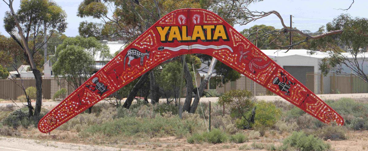
Yalata Lands landscape
The Yalata Lands, one of nine distinct landscapes in the Alinytjara Wiluṟara region sit at the south-eastern edge of the Great Victoria Desert dune system, east of the Nullarbor Plain and follows the coast from the WA border to the Head of Bight in SA. It is an exceptional arid area with relatively pristine vegetation. Yalata Aboriginal Community is the only settlement in the area. It has a fluctuating population of between 300 and 500 people who identify as southern Aṉangu and speak a southern dialect of Pitjantjatjara as their first language.
Key characteristics
- Areas of mallee, including beaked red mallee, yorrell and dryland tea tree
- Shrub land plains, low woodlands and occasional areas of inland tea tree
- Surface water is scarce in this landscape – bore water is extracted for use in the Yalata community
Native plants and animals
- Birds such as the bustard, red-throat and slender-billed thornbill
- Reptiles such as the Nullarbor bearded dragon, McKenzie’s dragon and linga dragon
- Southern hairy-nosed wombats
- Flora including the small-leaf emu bush and mallee bitter-pea
Visiting
Yalata Indigenous Protected Area (IPA) provides some of the best natural dune camping areas available with 15 unique campsites, spread 40km along Yalata coastline. Each campsite is different from the other, ranging from 100-900m off the beach with several marked entry points allowing vehicle/ATV access directly onto the beach adjacent to some of the best remote surf fishing available in Australia. The community is proud of their land and are happy to share the experience of it with you, however, entry to Yalata Lands for camping and fishing is only allowed with an approved permit.
To apply for a camping and/or fishing permit please visit https://yalata.com.au/