Saltmarsh modelled for movement under predicted sea level rise
Understanding where Eyre Peninsula’s saltmarsh habitats might be forced to move to escape predicted sea level rise is part of a new computer modelled landscape-scale study underway between Natural Resources EP and a student at the University of Adelaide.
Planning and Assessment Officer Andrew Freeman said combining the latest Geographical Information System (GIS) computer modelling and field knowledge is an important step now underway thanks to funding from the Australian Government’s National Landcare Program and the Eyre Peninsula Natural Resources Management Board.
“Healthy saltmarshes are some of our biggest blue carbon storage sinks. They are also prolific fish nursery areas, essential sediment filters, buffers against erosion and storm surge and home to countless invertebrates and shorebirds. You’ve probably heard of coastal retreat, however, planning ahead for these coast loving plants is more complex than believing they will simply move inland. If we want these amazing saltmarsh ecosystems to survive and thrive in the future this type of applied research analysing spatial data is crucial in gaining insight into what is likely to produce significant change,” Mr. Freeman said.
“Native plant movement comes up against a number of known barriers. Physical barriers to saltmarsh movement can include incompatible soil types and man-made infrastructure like roads. Also, biological barriers which we must plan for. Every saltmarsh has a slightly different mix of plants, and every samphire and saltmarsh plant species has a particular reproductive strategy, which in their own unique way will either assist or prevent successful colonisation into new areas. We often refer to this as the ‘winners and losers’ of climate change.”
“One of the most fundamental questions we are trying to answer is whether natural processes alone will allow saltmarsh to move if new areas of land are provided, or will we have to actively assist this migration through new plantings?”
Bachelor of Science student Sophie Russell said she is delighted to take the opportunity to collaborate and make a real difference using the State’s biological data and GIS modelling.
“With projected sea level rise, many of these systems are at risk of shrinking or disappearing, and in order to maintain them and the ecosystem services they provide we need to take action. With the recent LiDAR (Light Detection and Ranging) data being modelled into projected sea level rise this provides an exciting opportunity to assess saltmarsh habitat that would be affected, and provide recommendations to protect them.”
“I am using a new process to determine areas of saltmarsh retreat on Eyre Peninsula. We’ve found the current areas affected by one in one hundred year storm surge events are a good indicator of current saltmarsh extent, so we’ll be applying this knowledge to help predict future extent of saltmarsh,” Ms Russell said.
“This system saves a lot of time in determining suitable areas and with a little more testing I’m hopeful it will be a robust method able to be used elsewhere. The system for assessing threats or conservation benefits to areas of saltmarsh retreat is similar to the tried and true methodology already used in the Coastal Action Plan for the Eyre Peninsula, only in our study the priorities have been tailored exclusively to focus on saltmarsh.”
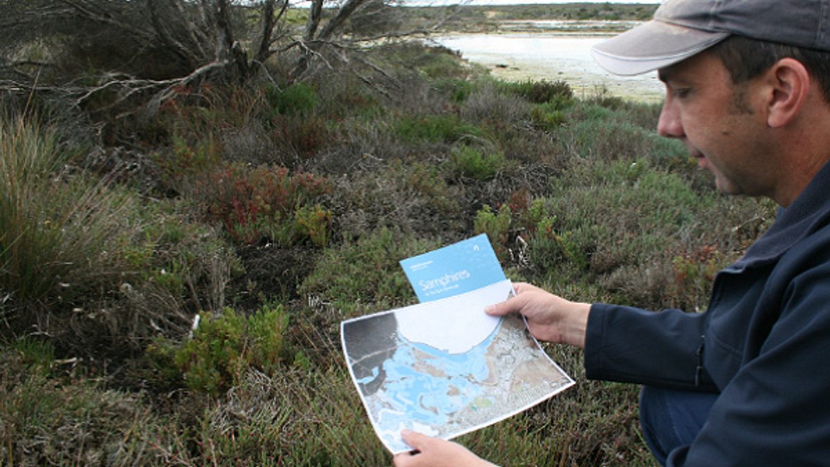
During Sophie’s recent visit to Eyre Peninsula she inspected saltmarsh ecosystems at Tumby Bay and Coffin Bay.
For further information call us on (08) 8688 3180


