Innovative
Eighteen properties in the SA Arid Lands region are getting a firsthand introduction to the NRM Spatial Information Hub, an exciting initiative that is currently being rolled out across Australia’s rangelands to provide land managers with simple online tools for analysing land condition and assisting management decisions.
Posted 25 November 2015.
The tools – which allow the consistent development of comprehensive digital property plans, asset registers, ground cover monitoring, and plans of on-ground works across the rangelands – are underpinned by up-to-date high resolution satellite and time-series satellite imagery going back up to 30 years. Much of this has previously been available at a cost and only to government agencies.
About 120 properties across Australia’s rangelands are involved in trialling the technology. Digital mapping of property infrastructure has been completed on pilot properties in Queensland and in New South Wales. Some Northern Territory and Western Australian pastoral properties are also part of the project’s future work. Now it’s South Australia’s turn.
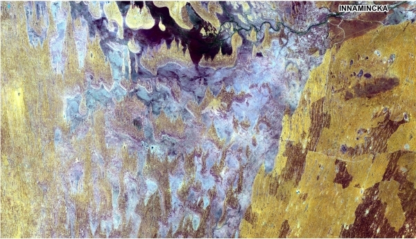
Led by GIS and Farm Planning Specialist Lee Blacklock, property visits commenced in the Marree-Innamincka district in September with additional visits planned to the Eastern and Marla-Oodnadatta districts expected to be completed by December 2015.
These initial visits to 18 ‘pilot properties’ are crucial to testing and providing feedback on The Hub as it develops, with the pilot users receiving a demonstration and evaluation of time-series remote sensing of land condition and productivity, as well as property-specific training to access and use the online system.
After November and when the new version of The Hub software has been released, pilot users will be able to use their additional skills and information to review and value add to their property management practices.
Interstate pilot properties that have been trialling the tools since early 2015 are already seeing advantages in creating digital property management plans; long-term monitoring of ground cover; comparison of land condition with the immediate region and historical records; planning watering points for stock; managing stocking rates around fodder availability; recording infrastructure; identifying paddock designs; and evaluating the impacts of new projects on land condition.
These pilot properties are also citing the benefits to decision making and succession planning of having a central repository of property information which pulls in the latest data.
Once The Hub is being fully utilised on the South Australian properties, some of the pilot users will be asked to share their experiences with other land managers through regional workshops and case studies.
What is the NRM Spatial Hub?
The NRM Spatial Information Hub is providing rangelands managers– from property managers to NRM bodies – with the online systems, tools, data, and skills to improve productivity, land condition and conservation outcomes at the property, regional and national scales.
Users will gain secure on-line access to spatial data over their land, such as high resolution and innovative time series satellite imagery products, as well as tools to analyse land condition, water access and plan infrastructure. They will also have the ability to capture supporting information in the field, using hand held devices such as GPS and smart phones.
The Hub is a central element of the 15 year blueprint of the national Rangeland NRM Alliance’s Australian Rangelands Initiative.
Stage 1 of The Hub formally commenced in April 2014 and is funded until March 2016, with plans to take the system into long-term operation in mid-2016.
For further information visit the NRM Spatial Hub website to access land manager case studies from Queensland and New South Waler and more.
All infrastructure data (eg internal waterpoints, tracks etc.) for the pilot properties was provided by the SA Government; any updates to this information by the properties are provided back to the SA Government through The Hub. However, specific property planning and management information (eg economic and sales data) is “private and confidential” and access is at the complete discretion of landholders.
Australian Government, Meat and Livestock Australia, Rangeland NRM Alliance, Pastoral Board, SAAL NRM Board, DEWNR, Cooperative Research Centre for Spatial Information; and multiple other organisations across Australia
Image gallery