Landscape South Australia - Murraylands and Riverland

  • Follow us on Facebook
  • Follow us on Twitter
  • Follow us on Instagram
  • Subscribe to our channel on YouTube
  • Home
  • About us
    • What is landscape management
    • Murraylands and Riverland Landscape Board
      • Meet our members
      • Acknowledging Traditional Owners
      • COVID-19 response
    • Our region
    • About the levies
      • About the water levy
      • About the landscape levy
    • Our region's plan
      • Land use planning
      • Climate change
    • How we measure progress
  • Water
    • Permits and licences
    • Water allocation plans
      • Eastern Mount Lofty Ranges
      • Mallee
      • Marne Saunders
      • Peake Roby and Sherlock
      • River Murray Prescribed Watercourse
    • Flows for the Future
      • About low flows
      • How low flows can be secured
    • Managing water resources
      • Water affecting activities
      • Water meter self-reads
      • Private dam maintenance in emergencies
      • Noora Groundwater Management
      • Rainwater
      • Stormwater
      • Annual ground water sampling
    • River Murray
      • Wetlands and floodplains
      • Restoration programs
      • Using the river
      • Issues for river health
  • Land & farming
    • Support for land managers
      • News and events
      • Test your soil acidity
      • Bushfire Back to Business program
    • Tools for land managers
      • Mobile friendly fact sheets
      • nrmFARM
      • Weatherstations
      • Soil moisture monitoring network
    • Farm management
      • Farm management resources
    • Drought management
    • Field crops
      • Field crop resources
    • Livestock and pastures
      • Livestock and pastures resources
    • Soils resources
      • Soil acidity
      • Soil carbon
      • Soil erosion
      • Soil modification
      • Mallee seeps
      • Dryland salinity
    • Sustainable irrigation
  • Pest plants & animals
    • Pest plants
    • Pest animals
    • Managing pests
  • Native plants & animals
    • Native plants
    • Native animals
    • Managing native species
    • Managing biodiversity
    • Native vegetation matters
  • Projects
    • All projects map
    • Community projects
    • Native species projects
    • Sustainable farming
    • Water projects
    • Wetlands and floodplains projects
  • Get involved
    • Events
    • Funding opportunities
      • Water Efficiency Program
      • Grassroots Grant program
    • Volunteering
      • Volunteer support and recognition
      • Volunteering opportunities and groups
    • Citizen science
      • Bird monitoring
      • Bat monitoring
      • Frog monitoring
      • Fungi monitoring
      • Water monitoring
      • Monitoring toolkit
    • Social media
  • Education
    • About the education program
    • For schools and teachers
    • For students
    • Nature of Volunteer Insurance Cover
    • Requirements of volunteer insurance cover
    • Volunteer insurance FAQs
    • Volunteer management form templates


Land and farming

Support for land managers

Learn how the Murraylands and Riverland Landscape Board can help you manage your property
Tools for land managers

Digital tools to help farmers and land managers streamline on-farm processes
Farm management

Resources to assist landowners in maximising productivity with relevant tools and information
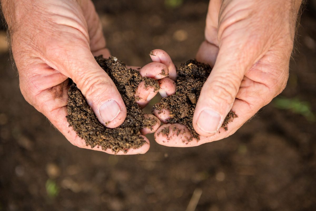
Drought management

In drought it is important to make risk management decisions early.

Field crops

Find out more about our team’s field crop projects

Livestock and pastures

Information and resources for sustainable grazing and animal management

Soils resources

Unearth resources to help you manage soils unique to the Murraylands and Riverland region
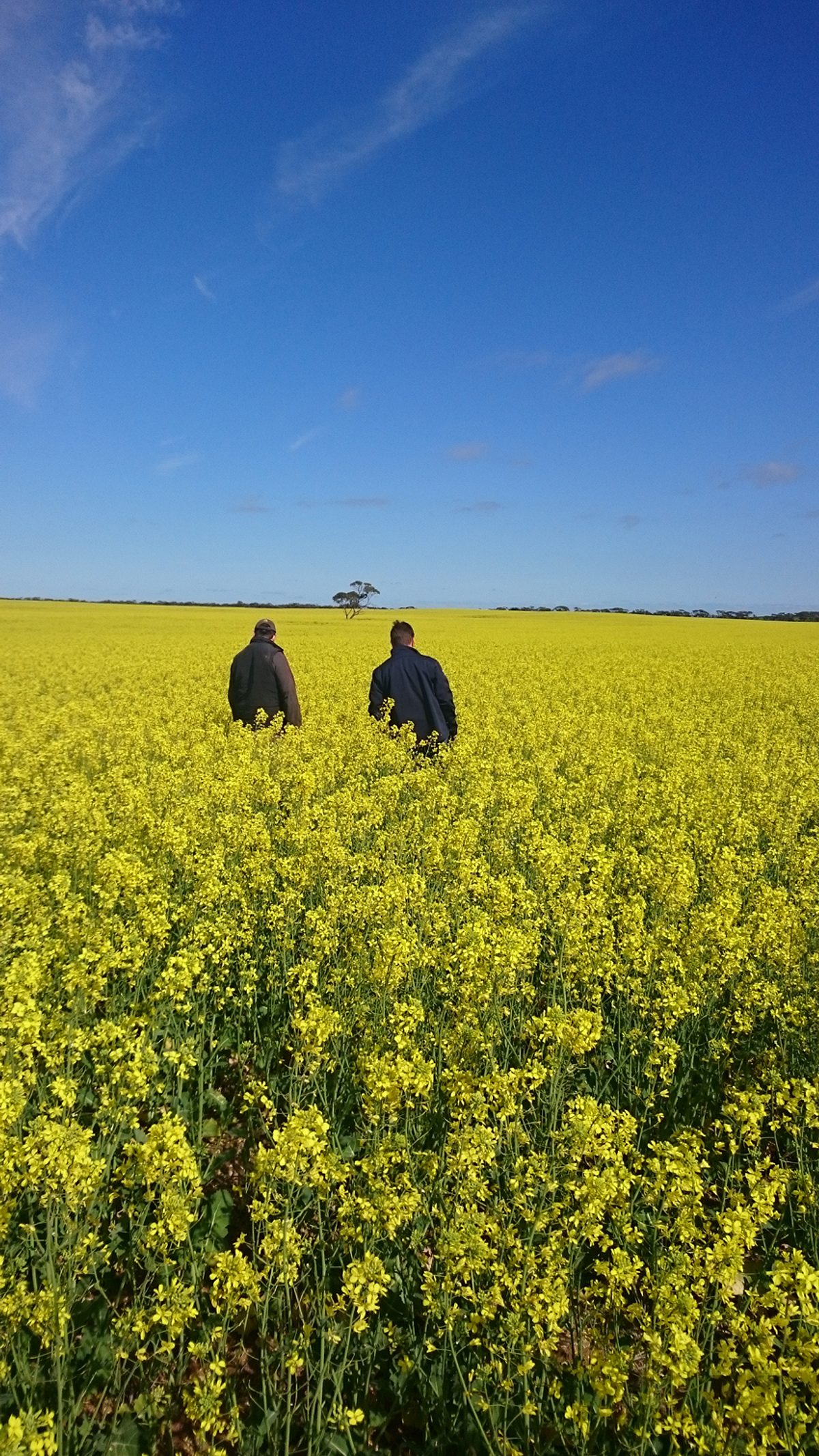
Sustainable irrigation

News, support, events and funding opportunities for the irrigation industry

Landscape South Australia
  • About us
    • About landscape management
    • Murraylands and Riverland Landscape Board
    • About the levies
    • Our region
    • Our region's plan
  • Contact us
    • Find our offices
    • Find us on social media
    • Subscribe
  • Get involved
    • Schools
    • Funding opportunities
    • Volunteering
  • I want to
    • Control weeds
    • Find a park
    • Know what the landscape levy does
    • Get a water permit or licence
    • Find teaching resources
    • Access grants and funding
  • Other regions
    • Alinytljara Wilurara
    • Eyre Peninsula
    • Green Adelaide
    • Hills and Fleurieu
    • Kangaroo Island
    • Limestone Coast
    • Northern and Yorke
    • SA Arid Lands

© Copyright, Government of South Australia 2020  |  Disclaimer  |  Privacy  |  Accessibility  |  Updated 11 Apr 2016

Goverment of South Australia South Australia sa.gov.au