Waterwatch
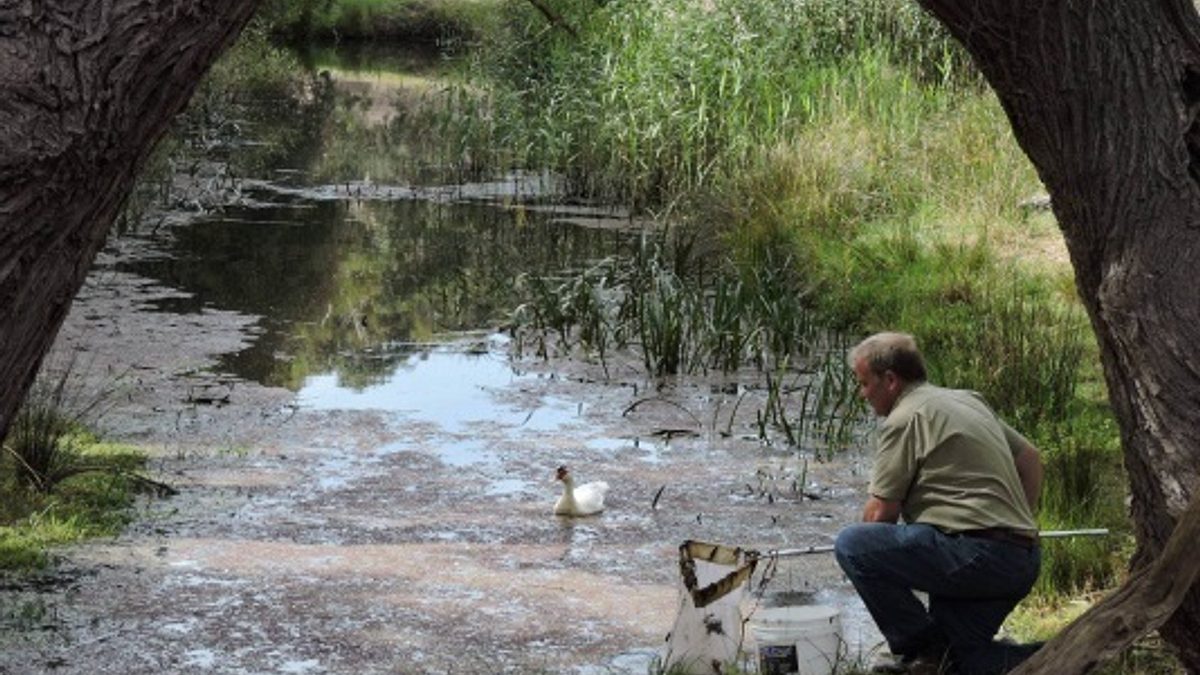
Citizen scientists in schools and community groups, along with landholders and interested individuals have been assessing the health of waterways in the Murraylands and Riverland, and Hills and Fleurieu regions for more than 20 years as part of the community water monitoring program Waterwatch. Data collected by Waterwatchers gives us a better picture of water quantity and quality across the region. The data is collected for a range of purposes;
- to monitor the long-term trends and condition of our waterways
- to monitor the effects of riparian revegetation projects and other local land management activities
- as part of property Environmental Management Systems (EMS)
- to monitor the performance of Water Allocation Plans and the Flows for the Future project
- for community education and information sharing.
Key indicators of waterway health that participants measure include, flow rates, turbidity, salinity (EC), pH and macroinvertebrates (water bugs). The monitoring protocols are relatively simple and give a baseline against which differences within and between catchments and changes over time can be measured. If the health of a site appears to be deteriorating and trigger levels of various parameters are reached, this tells us that further investigation (for example by the Environment Protection Authority EPA) and intervention may be warranted.
This project provides loan equipment and training in monitoring methods. We have an online database for people to enter their data to allow for easy information management and sharing. The results are also sent to the Bureau of Meteorology and become part of a national water resource database. Waterwatch data is also analysed and reported back to the community through reports for each catchment.
Waterbug Bioblitz events have been run biannually in the Murraylands and Riverland region since 2017 and the Hills and Fleurieu region since 2016. A Waterbug Bioblitz is a one day event where community groups and organisations, individuals and Murraylands and Riverland Landscape Board staff join forces with aquatic ecologists to collect as much information as possible about the macroinvertebrates (waterbugs) and water quality of a catchment. The Marne and Saunders Catchment in the Murraylands and Riverland region, and the Angas and Finniss catchments in the Hills and Fleurieu region, are being monitored regularly, with plans to expand into more catchments.
We are always looking for new participants and new sites to improve our monitoring network in waterways (streams, rivers and wetlands) across the region.
If you would like to be involved please contact the Senior Project Officer Citizen Science on email.
Waterwatch is also delivered in other parts of South Australia. Find out more about Waterwatch delivered by Landscape Hills and Fleurieu and Landscape South Australia - Northern and Yorke | Waterwatch
If you are interested in assisting with macroinvertebrate monitoring we have produced this instructional video on the standard sampling method. You can also use The Waterbug app to help you identify waterbugs from South-Eastern Australia.
More information
Murraylands and Riverland Landscape Board
Unit 5-6, Level 1 Sturt Centre, 2 Sturt Reserve Road, Murray Bridge, SA, 5253
08 8532 9100
