Automatic weather station network
The automatic weather station website has been upgraded, making it easier to view and access local weather data.
The new platform features a refreshed layout and works smoothly across desktop, mobile phones and handheld devices. Users will need to reset their favourite weather stations on the new site.
Check it out here.
Weather stations
To support farmers, irrigators and land managers, the Murraylands and Riverland Landscape Board has invested in a regional network of automatic weather stations. The network collects local, real-time weather data from 40 sites across the region, building an accurate picture of current conditions and long-term climate trends. This helps land managers make informed decisions about irrigation scheduling, spray application, fertiliser use and harvest timing.
What data is collected?
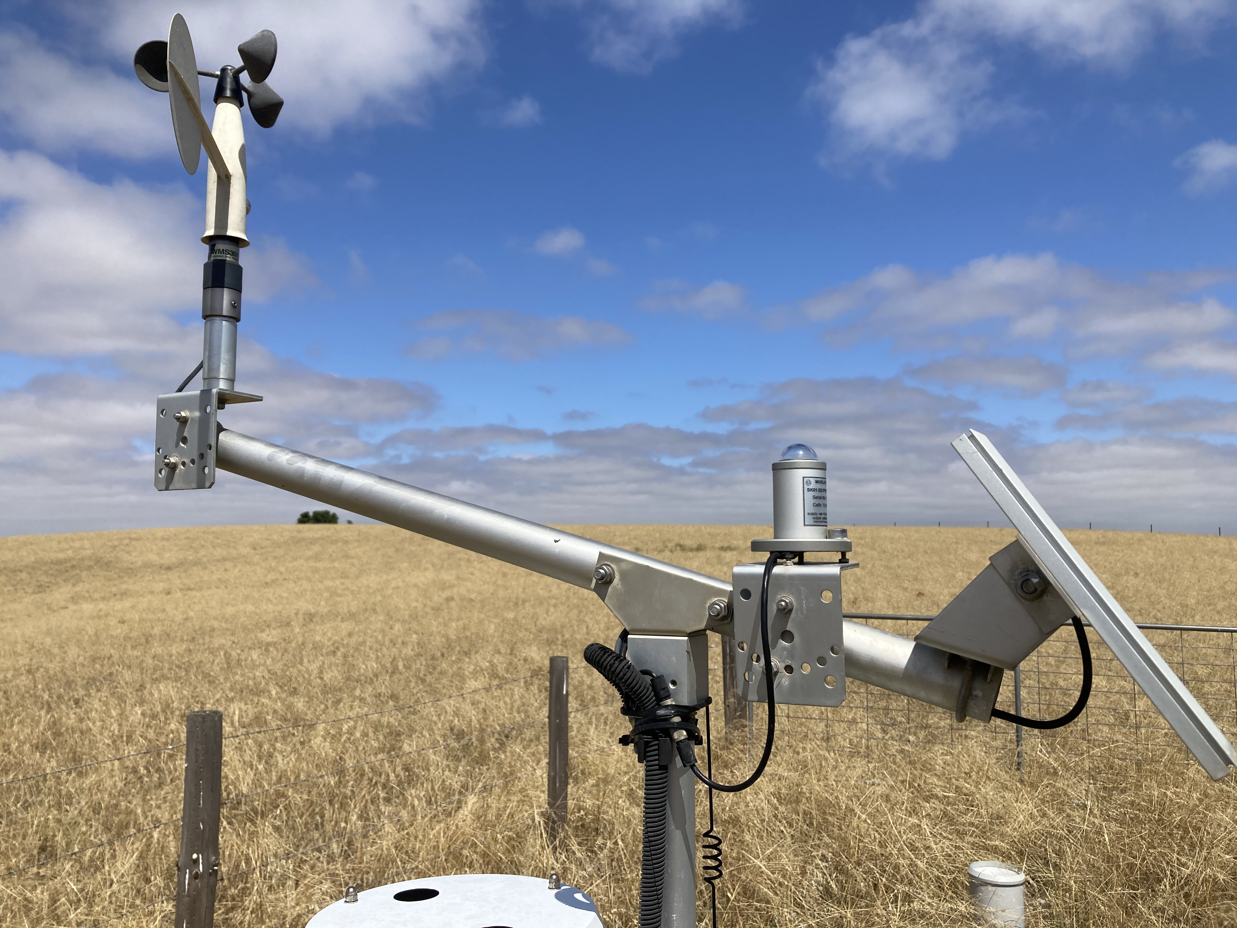
The network captures a range of core weather data, including:
- Rainfall
- Temperature
- Humidity
- Wind speed and direction
- Global solar radiation
This data is used to produce a range of calculated indicators to support on-ground decision-making, including:
- Dew point and apparent temperature
- Growing degree days and chill hours
- Frost risk
- Evapotranspiration and Delta-T
- In-crop canopy temperature
- Daily and long-term minimums, averages and maximums
This project is supported by the Murraylands and Riverland Landscape Board with funding from the landscape levies.
Image gallery