Birds used to gauge environment health
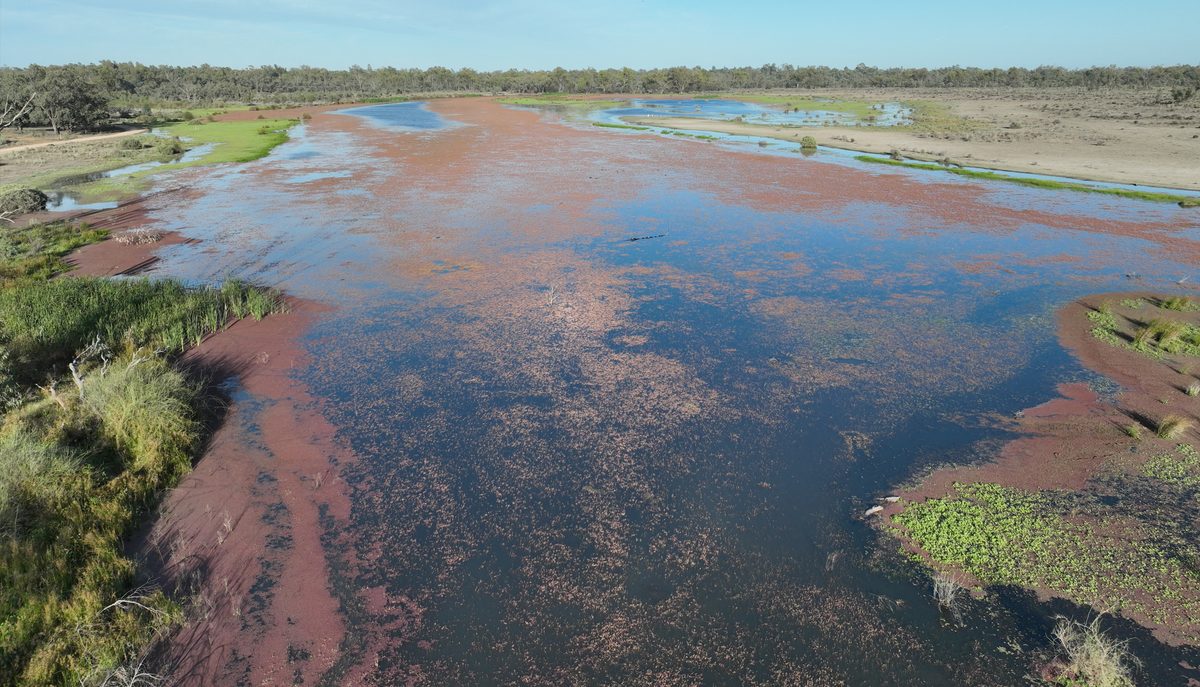
The Murraylands and Riverland landscape Board conducted spring bird monitoring surveys of the South Olary Plain last year to help guide a Landscape Assessment Framework.
Posted 09 March 2021.
Murraylands and Riverland Landscape Board Ecologist Craig Gillespie said many of the fauna and flora that call our region home are threatened, and that number is growing.
“We must manage habitats and threats to our native plants and animals so we can protect them,” Mr Gillespie said.
“The Landscape Assessment Framework provides information on the current state and historical trend of the environment and natural features. It helps identify significant issues and areas that should be prioritised for conservation activity.
“The South Olary Plain is one of the most important landscapes for biodiversity conservation in our region. It contains vast and continuous areas of natural habitat under conservation management.
“The surveys help inform us about how the different species and the bird community as a whole are managing in these landscapes.
“The reason we survey birds is because they are everywhere and easily noticed. Birds help us gauge an environment's ecological health, which makes them a vital part of the Landscape Assessment,” Mr Gillespie said.
The recent survey found many of the resident bird species were breeding, including whistlers, scrub-robins and quail-thrush.
Species that generally migrate to the region from the outback over the summer months such as; trillers, wood swallows, and chats, had taken up residence in large numbers.
Other nomadic species and occasional visitors were sighted including pied and black honeyeaters, cockatiels and budgerigars and the rare scarlet-chested parrot were seen in Danggali.
The survey also recorded some threatened bird species such as the red-lored whistler and striated grasswren.
The spring bird survey results will be entered into the Biological Databases of South Australia before analysis in the Landscape Assessment Framework and are available to the public via NatureMaps.
Mr Gillespie said it is essential to collect this data as the survey results also help improve management for fire planning for biodiversity conservation and planning and monitoring impacts of grazing by feral or over-abundant herbivores (animals that feed on plants).
The Murraylands and Riverland Landscape Board is committed to protecting the region’s unique biodiversity, to preserve our crucial environments and habitats for future generations.
The South Olary Plain includes; Chowilla Regional Reserve, Danggali Wilderness Protection Area and Conservation Park, Calperum and Taylorville Stations and Gluepot Reserve and are home to many threatened species.
This project is supported by the Murraylands and Riverland Landscape Board through funding from the landscape levies.


