Citizen Scientists Help Reduce Grazing Pressure Using a Smartphone App

The South Olary Plain is a very large landscape within the Murray Darling depression. The western tip of that landscape dominates the portion of the Murraylands and Riverland Region north of the River Murray. This area is almost entirely managed for biodiversity conservation, a continuous expanse of native vegetation almost twice the size of Kangaroo Island.
The landscape is very important to the conservation of our Mallee birds, especially threatened species such as the mallee striated grasswren, black-eared miner, red-lored whistler, malleefowl and regent parrot. These species and many others rely on the habitats of this landscape as one of their most important remaining strongholds.
While the landscape, formerly used for livestock grazing has been recovering for up to several decades since pastoralism has been gradually phased out, the threatened Mallee bird species populations continue to decline. This is partly due to the continued grazing pressure on their habitats from feral goats and elevated populations of kangaroos. These herbivores have been able to persist in the landscape in such high numbers because of the standing water that collects in the artificial dams constructed by the pastoral industry.
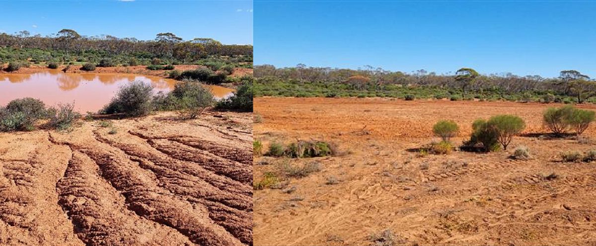
Naturally, the landscape is almost always free of standing water as there are no creeks or rivers to speak of. The only natural water bodies are ephemeral lakes and swamps where water would collect and persist for short periods following heavy rains. The dams were built by excavating deeper basins within these natural depressions to concentrate the water run-on into a smaller, deeper pool reducing water “loss” to natural infiltration into the soil or evaporation. In many cases, this provided almost permanent standing water for herbivores, enabling vegetation communities adapted for light and episodic grazing to be grazed continuously for many decades.

The impacts are many and varied but none of them can be addressed efficiently without removing the standing water to an extent that will reduce the herbivore populations permanently. This is why the Murraylands and Riverland Landscape Board, in conjunction with the Department of Environment and Water, and other partners have closed over 40 redundant pastoral dams across this landscape over the past 6 years. But with more than hundred dams still remaining, we need to be sure that the dams we remove are the ones most likely to be holding water. For most of the dams so far treated, this information came from local knowledge gleaned from former pastoralists, rangers, land managers and some of the many citizen scientists and volunteers that are busy working on the various conservation activities in the area.
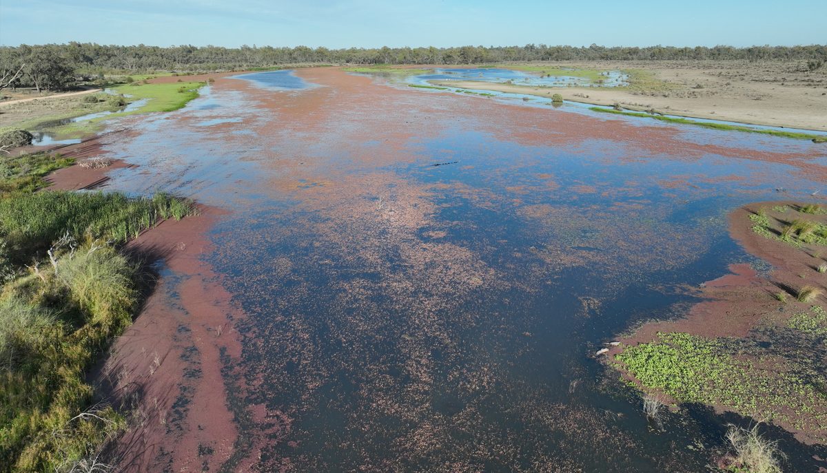
More recently and as we begin to focus on the lesser known dams, we need to gather that information as we go. To help with this, the landscape board have developed a standing water smartphone app that can rapidly record and report back whether there is water in a dam at any given time. Citizen scientists like Graham Frahn and Peter Haines and others have been collecting the data whenever they pass one of these dams on their usual travels in the landscape. It’s as simple as taking a photo of the dam (whether it has water in it or not) and entering a few simple details. The data is displayed on a map showing where standing water is available to herbivores. The records are particularly useful if captured within a week or two after any rainfall event so that we can see whether a dam actually catches much water when it rains. Then if the dam does have water, subsequent records gathered at the same site tell us something about how long the water will persist.
This was particularly helpful recently when some of the dams we were planning to close in Taylorville Station suddenly filled up after an unexpected downpour. Graham was able to deliver an almost real-time status report on these dams allowing us to schedule works accordingly. Data captured by citizen scientists using the app will now help us to reduce the impacts of herbivores on these precious habitats by showing us where feral goats are most likely to still find water to drink.
If you are involved in working in the South Olary Plain as a volunteer or in your job, you too may be able to help. Contact the landscape board for further information on downloading and using the app.


